Uttarakhand, India
Kumaon
Sacred Peaks · Inner Line Frontier
About Kumaon
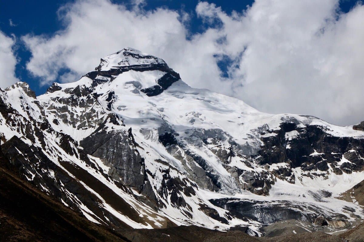
Kumaon stretches from the lower Himalayan foothills of Almora and Jageshwar to the towering border ranges of Pithoragarh — where India, Nepal, and Tibet meet. This is the land of Chhota Kailash (6,310 m), Om Parvat with its natural ॐ snow formation, and the five-summit Panchachuli massif. Inner Line Permits are required for the highest routes, keeping visitor numbers low and the wilderness genuinely remote. Beneath the peaks, the Kumaon hills shelter one of India's densest concentrations of ancient temples — Jageshwar, Baijnath, Patal Bhuvaneshwar — and the medieval hill capital of Almora.
Why Visit Kumaon
Adi Kailash (Chhota Kailash, 6,310 m) — India's sacred equivalent of Kailash Mansarovar
Om Parvat — natural ॐ symbol in snow, visible from Nabhidhang (4,266 m)
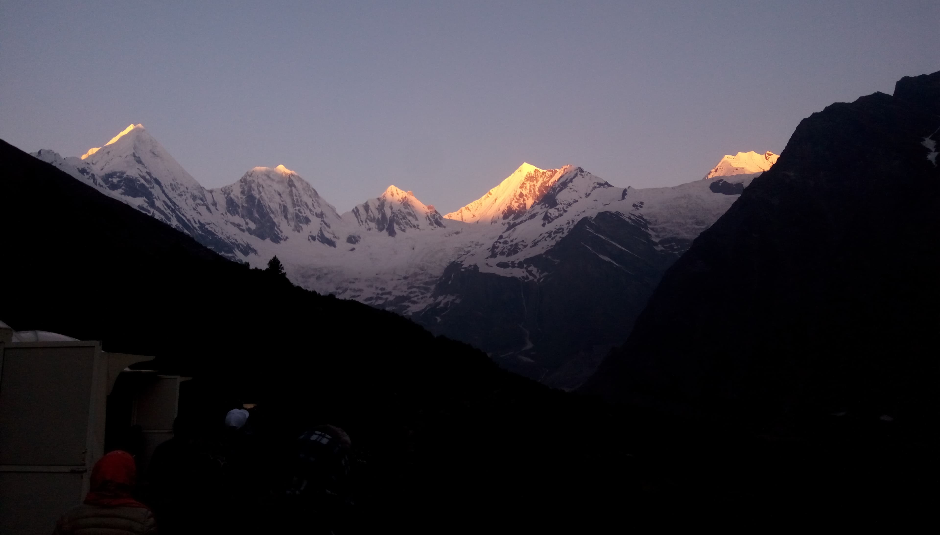
Darma Valley — remote Shauka villages beneath the Panchachuli massif
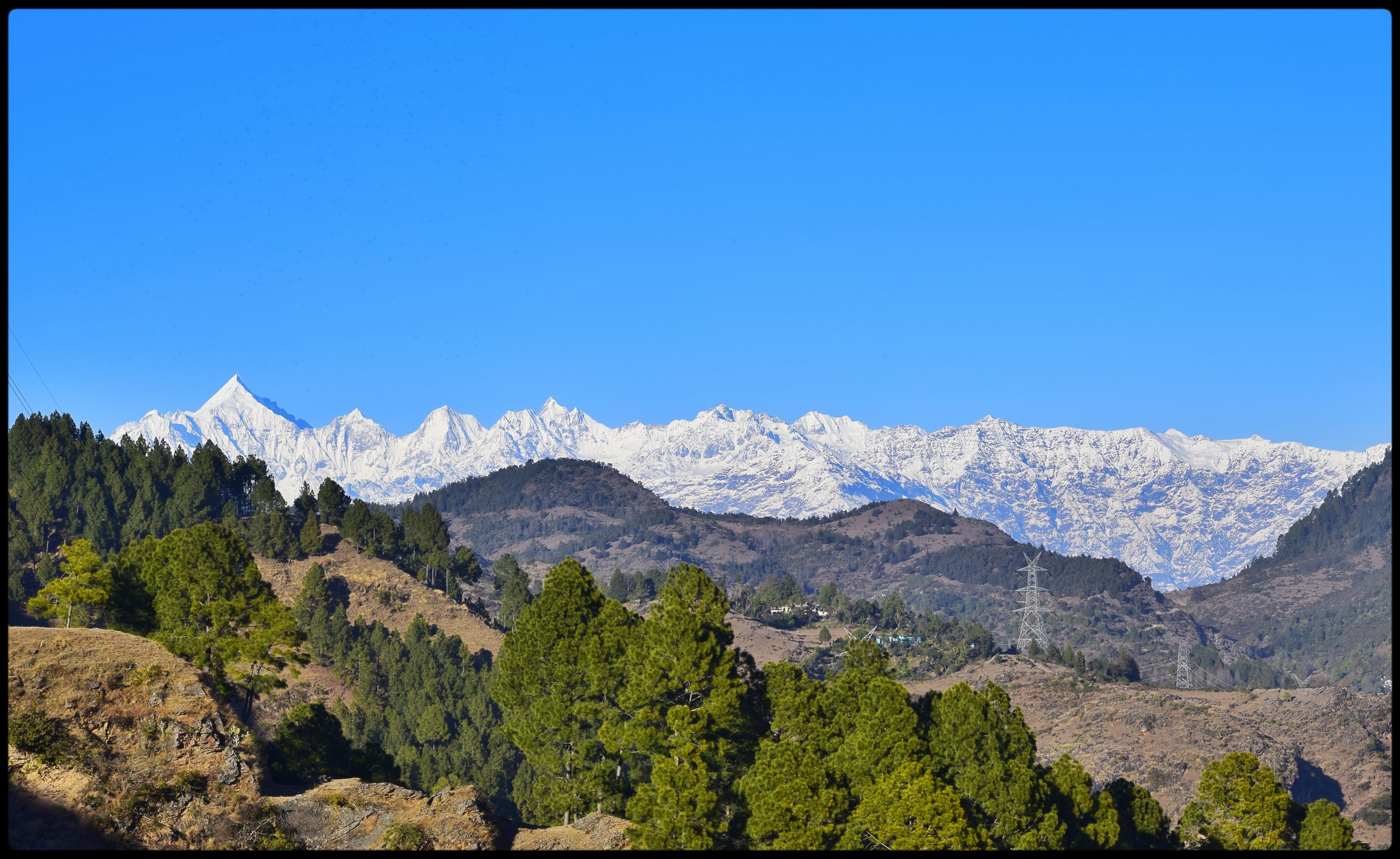
Panchachuli Base Camp — five Himalayan summits above 6,300 m
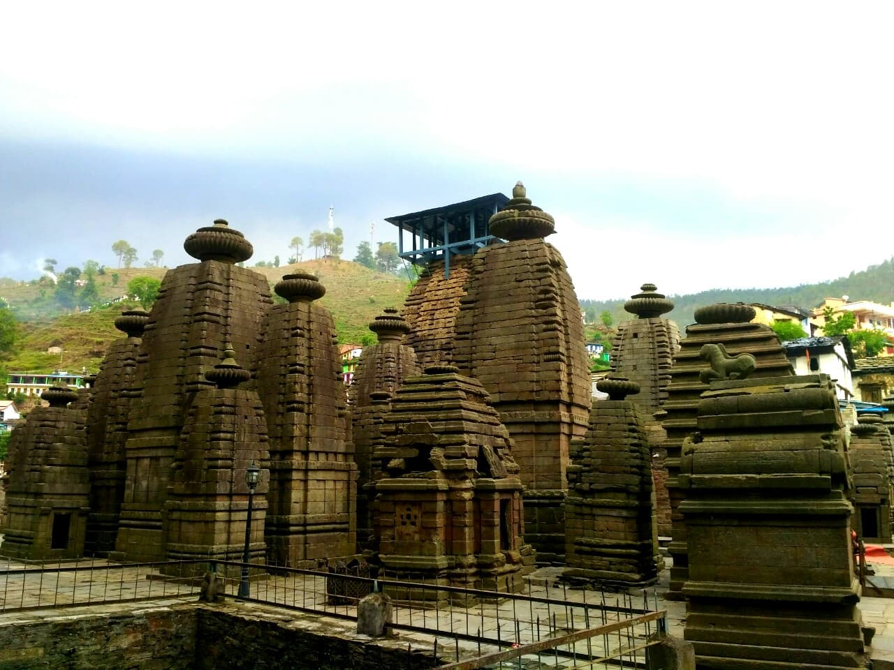
Kumaon temple circuit: Jageshwar, Baijnath, Katarmal, Patal Bhuvaneshwar
Inner Line Permit zones — authentically off the tourist grid
Best Time to Visit
Recommended Months
The high-altitude routes (Adi Kailash, Om Parvat, Panchachuli) run May–June and September–October when passes are clear. The Kumaon Cultural Circuit runs year-round — winter (Nov–Feb) delivers the sharpest peak views from the temple ridgelines. Avoid the monsoon (Jul–Aug) for the border valleys.
Quick Facts
Kumaon at a glance
Region
Eastern Uttarakhand
Nearest Rail
Kathgodam / Haldwani
Nearest Airport
Pantnagar (PGH)
Permits
Inner Line Permit for border routes
Max Altitude
6,310 m (Adi Kailash)
Time Zone
UTC+5:30
Explore by Region
Trekking Regions in Kumaon
Kumaon Adventures
4 Packages Available
SpiritualAdi Kailash & Om Parvat Yatra
Twin darshan of Chhota Kailash and the natural ॐ symbol — the sacred Kumaon pilgrimage
From
₹19,999/ person
 Off-Beat
Darma Valley Trek
An offbeat traverse through one of Kumaon's most remote and pristine valleys
Pricing
Custom quoteper your requirements
 New
NewPanchachuli Base Camp Trek
Stand beneath five Himalayan summits in the remote Darma Valley wilderness
Pricing
Custom quoteper your requirements
 New
NewKumaon Temples & Heritage Tour
Sacred shrines, colonial hill-towns, and panoramic Himalayan ridges across the Kumaon heartland
Pricing
Custom quoteper your requirements