Uttarakhand · Trekking Region
Darma Valley
Uttarakhand's last unspoilt frontier
About Darma Valley
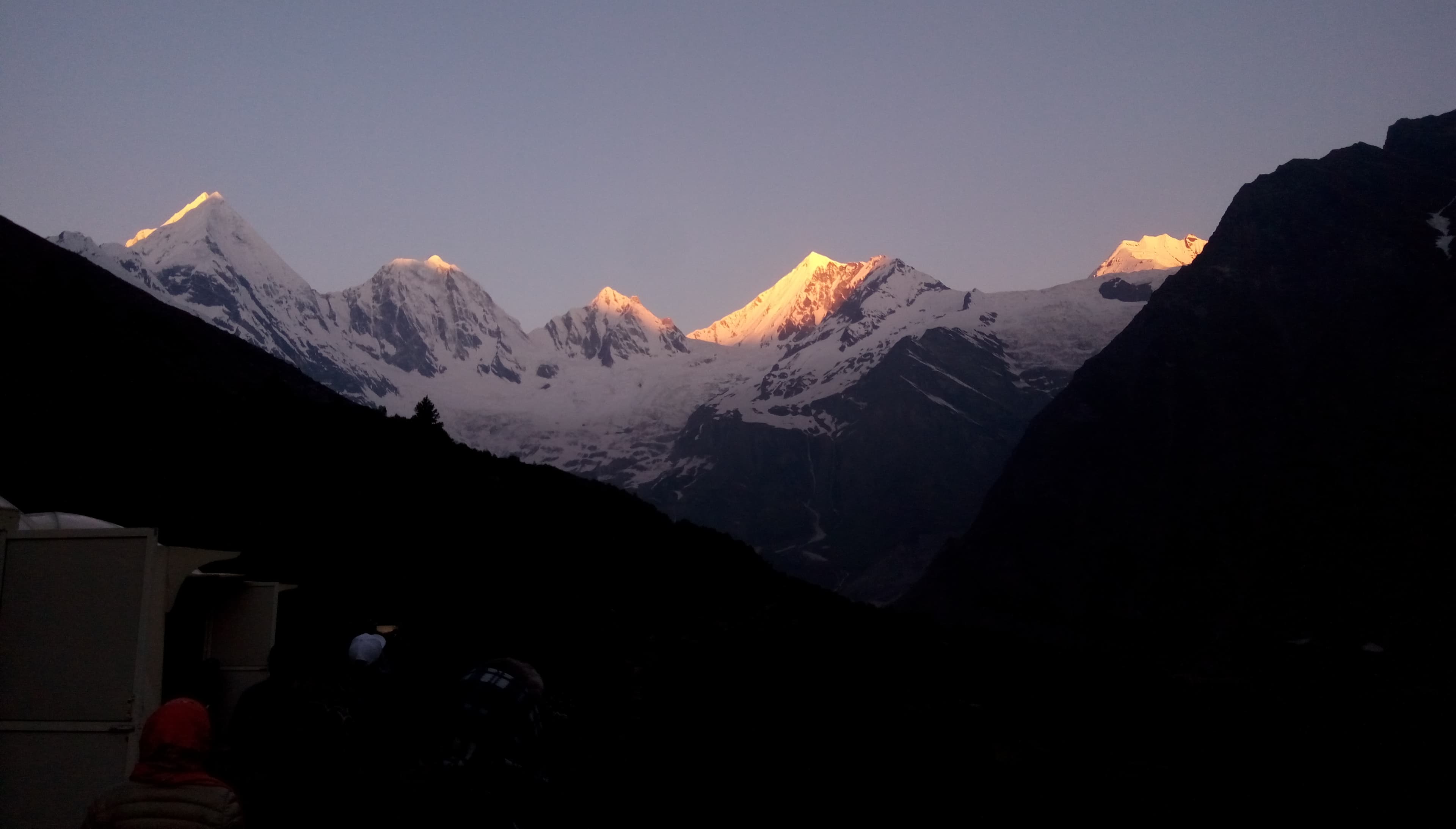
The Darma Valley runs north from Dharchula in Pithoragarh, following the Dharma River through a string of semi-nomadic Shauka villages — Dugtu, Baaling, Sela, Nagling — each perched on cliff-edges with stupas and prayer flags overhead. The people here traditionally traded between India and Tibet, a heritage visible in their distinctive architecture and culture. The valley culminates below the Panchachuli group, five summits rising like a giant's knuckles above 6,300 m. Because access requires an Inner Line Permit and involves long approach drives on remote mountain roads, the valley sees a fraction of the visitors that comparable Nepal treks receive — making it one of the great undiscovered treks of the Himalaya.
Region Highlights
Panchachuli massif — five summits between 6,334 m and 6,904 m
Ancient Shauka villages: Dugtu, Baaling, Sela, Nagling
Dharma River gorge — dramatic high-altitude canyon scenery
Tibetan-influenced architecture and culture
Inner Line Permit area — authentically remote
Maximum altitude ~4,620 m — achievable without technical climbing
Best Trekking Season
The pre-monsoon (March–May) and post-monsoon (October–November) windows offer the clearest skies, stable weather, and best mountain views. Some treks are viable year-round at lower altitudes.
Darma Valley
Region at a glance
Max Altitude
4,620 m
Trek Duration
9–12 days
Difficulty
Challenging
Packages Available
2 treks
Best Months
June, July, August…
Darma Valley Packages
2 Treks in This Region
Off-BeatDarma Valley Trek
An offbeat traverse through one of Kumaon's most remote and pristine valleys
Pricing
Custom quoteper your requirements
 New
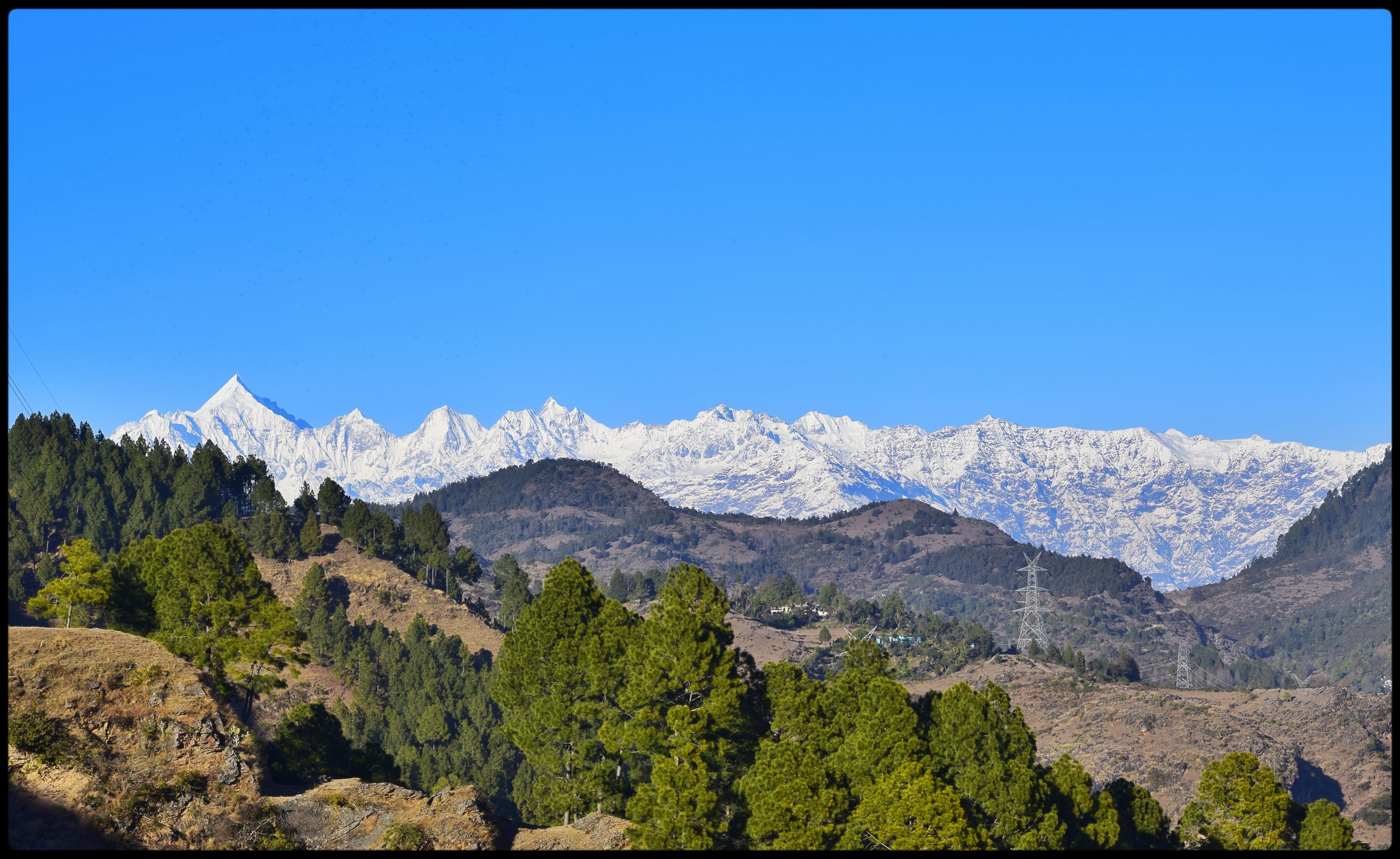
NewPanchachuli Base Camp Trek
Stand beneath five Himalayan summits in the remote Darma Valley wilderness
Pricing
Custom quoteper your requirements
Explore Other Regions
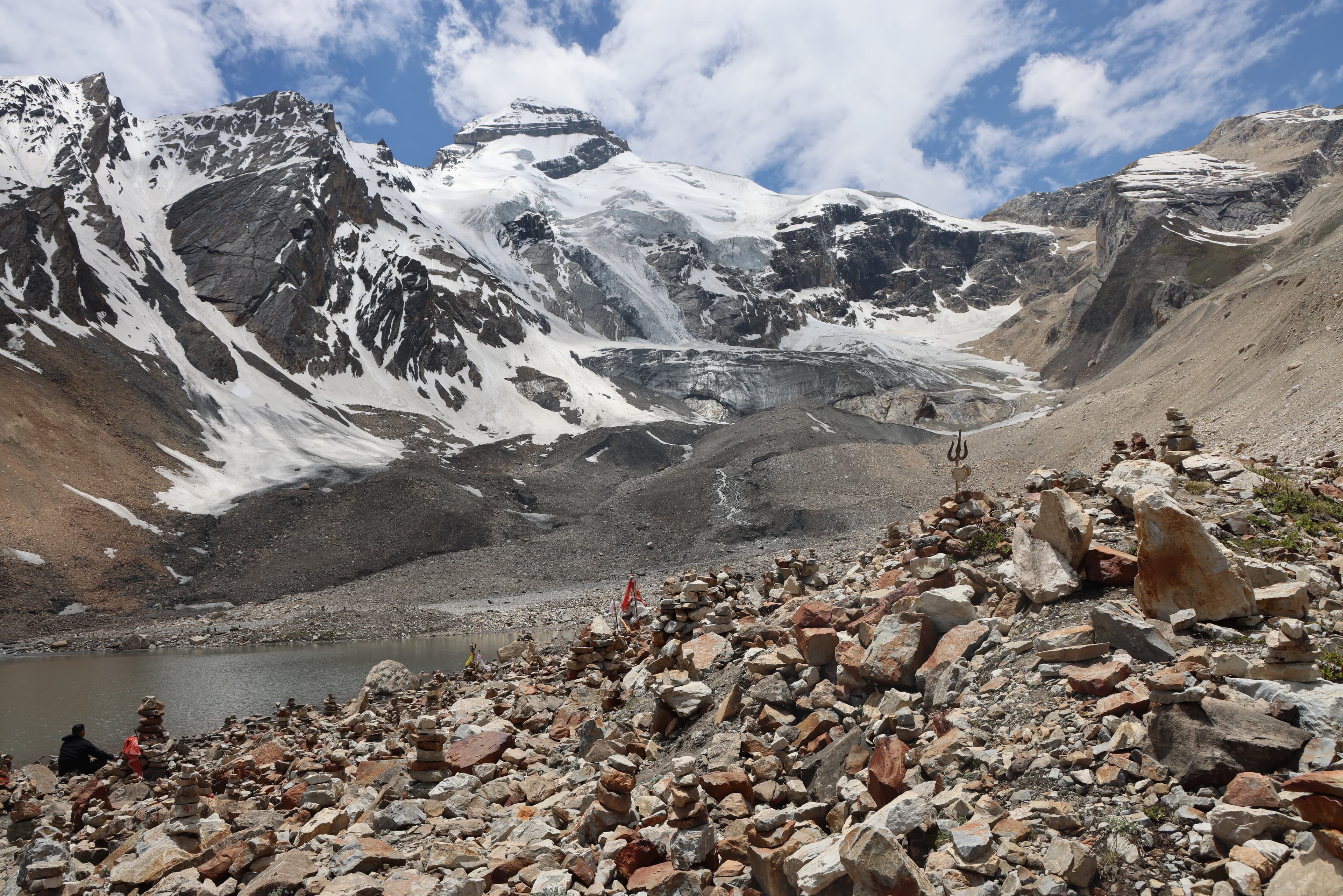
Pithoragarh Inner Himalaya
Spiritual summits of Chhota Kailash
Munsiyari & Panchachuli
Gateway to the five-peaked massif
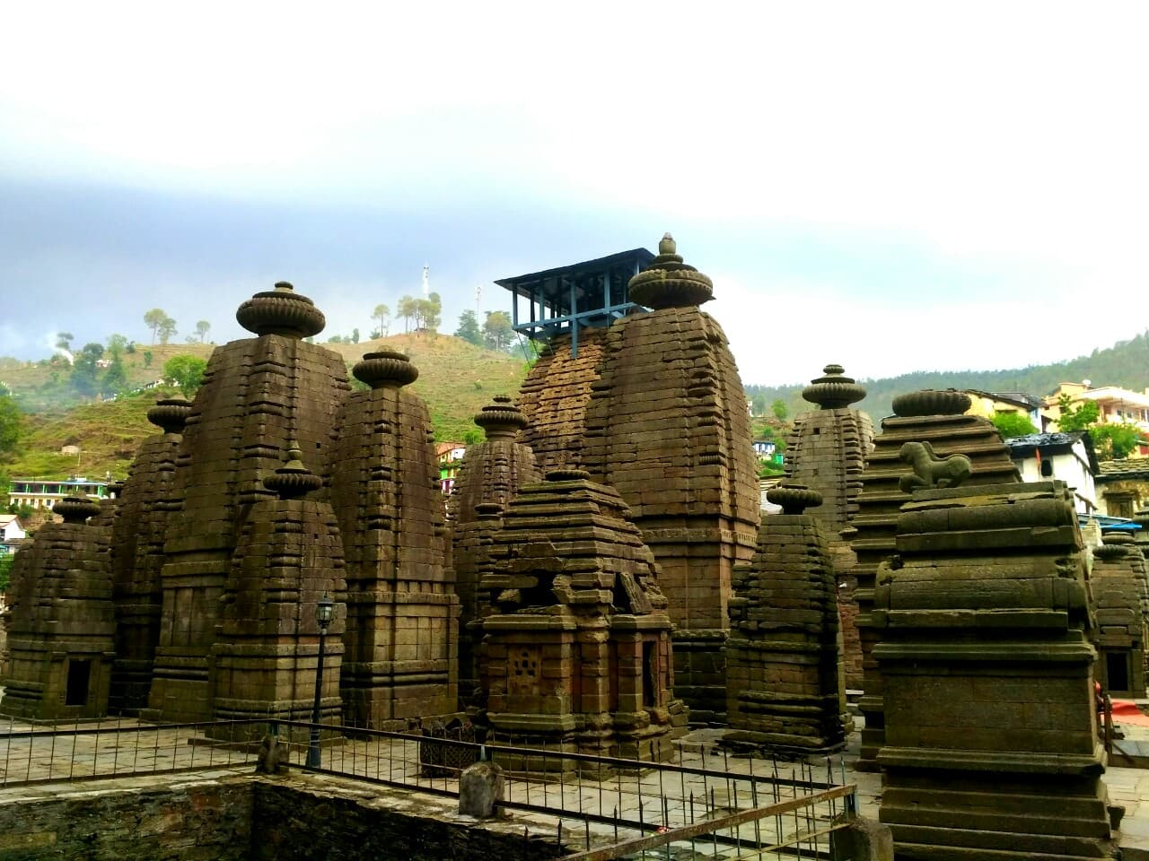
Kumaon Cultural Circuit
Ancient temples and Himalayan heritage
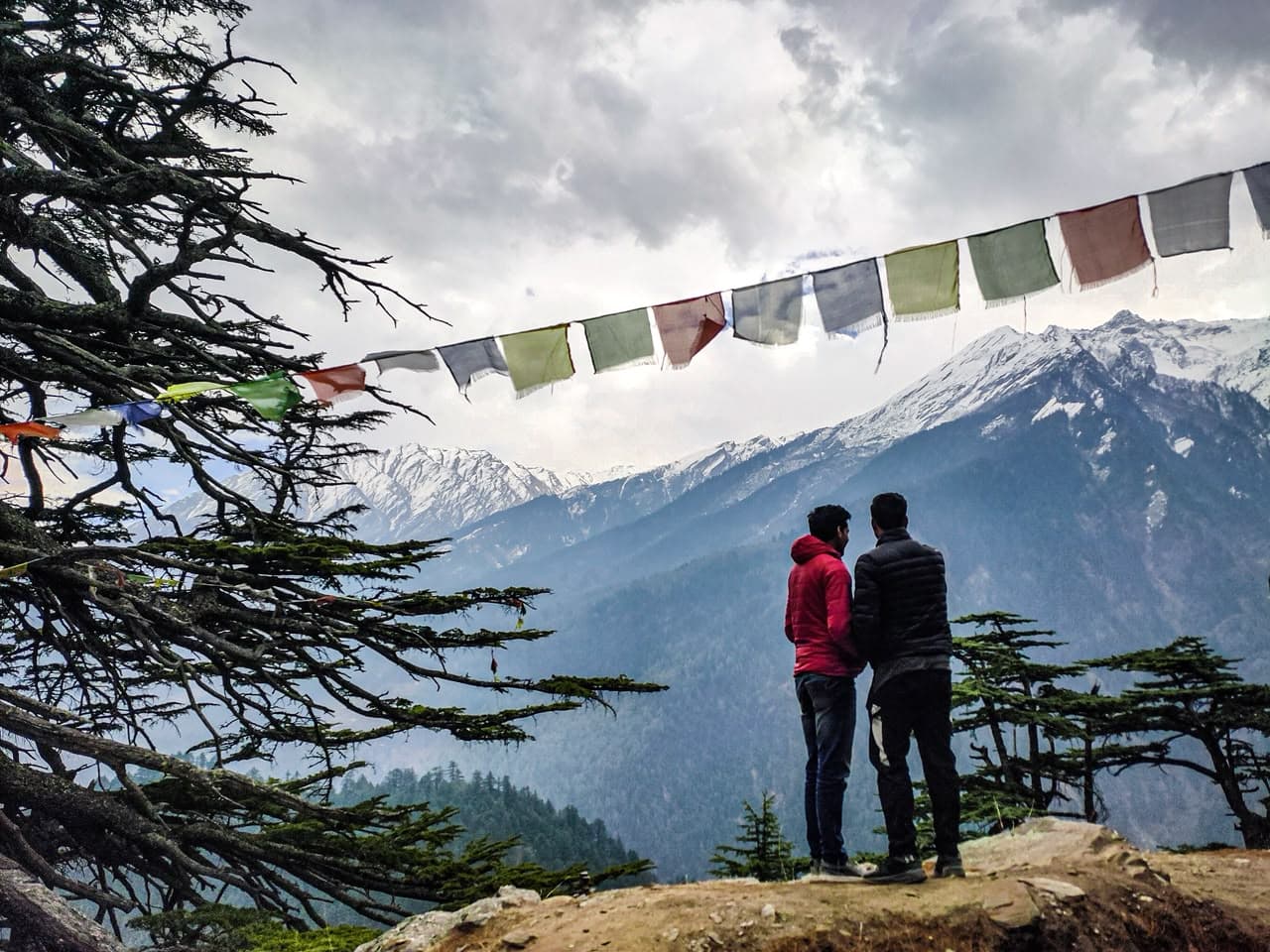
Harshil Valley & Gangotri
Sacred source of the Ganga
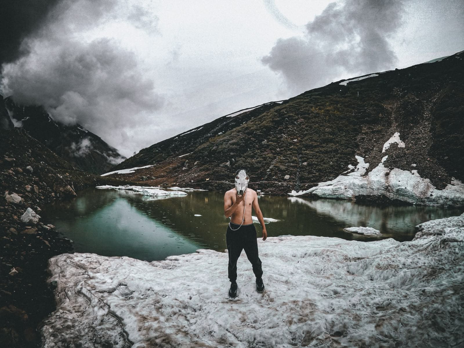
Kyarkoti Lake
Hidden turquoise lake in the Bhagirathi basin
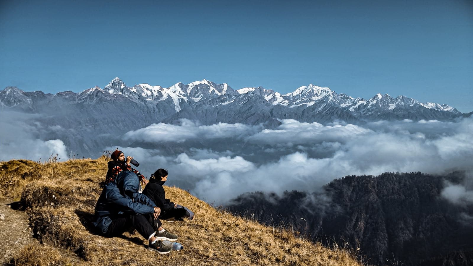
Gidara Bugyal
Garhwal's largest untouched alpine meadow

Dayara Bugyal
The classic 28 km² meadow beneath Bandarpunch