Uttarakhand · Trekking Region
Munsiyari & Panchachuli
Gateway to the five-peaked massif
About Munsiyari & Panchachuli
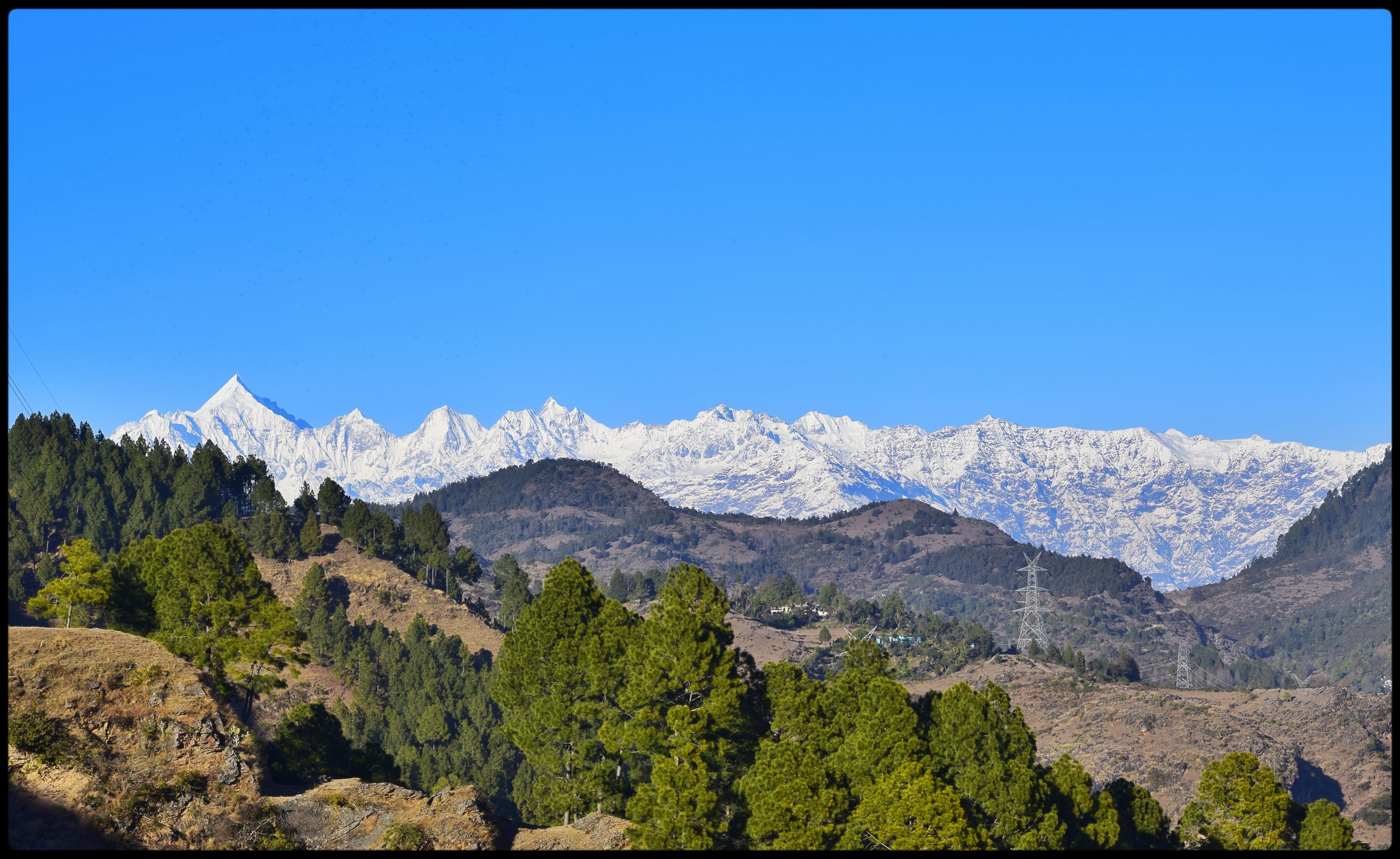
Perched at 2,200 m with unobstructed views of the Panchachuli peaks, Munsiyari has long been known to trekkers as Uttarakhand's 'mini Kashmir.' From here, the Panchachuli Base Camp Trek (also called the Milam Glacier approach) climbs through oak and rhododendron forest, past the traditional village of Khalia Top, to the base of Panchachuli II (6,904 m) — the tallest of the five peaks and one of India's most technically demanding unclimbed summits. The route involves crossing high passes above 4,000 m and camping on moraines surrounded by 360-degree Himalayan panoramas. This is genuine expedition-style trekking at a tea-house-accessible level.
Region Highlights
Panchachuli Base Camp at 4,260 m — beneath five towering summits
Khalia Top viewpoint (3,500 m) — panoramic Himalayan sunrise
Birthi Falls and Milam Glacier approach trails
Munsiyari town at 2,200 m — stunning views from the start
Himalayan flora: rhododendron, oak, and alpine meadows
Shauka cultural heritage of the Johar Valley
Best Trekking Season
The pre-monsoon (March–May) and post-monsoon (October–November) windows offer the clearest skies, stable weather, and best mountain views. Some treks are viable year-round at lower altitudes.
Munsiyari & Panchachuli
Region at a glance
Max Altitude
4,260 m
Trek Duration
8–12 days
Difficulty
Moderate–Challenging
Packages Available
1 treks
Best Months
April, May, June…
Munsiyari & Panchachuli Packages
1 Trek in This Region
Explore Other Regions
Pithoragarh Inner Himalaya
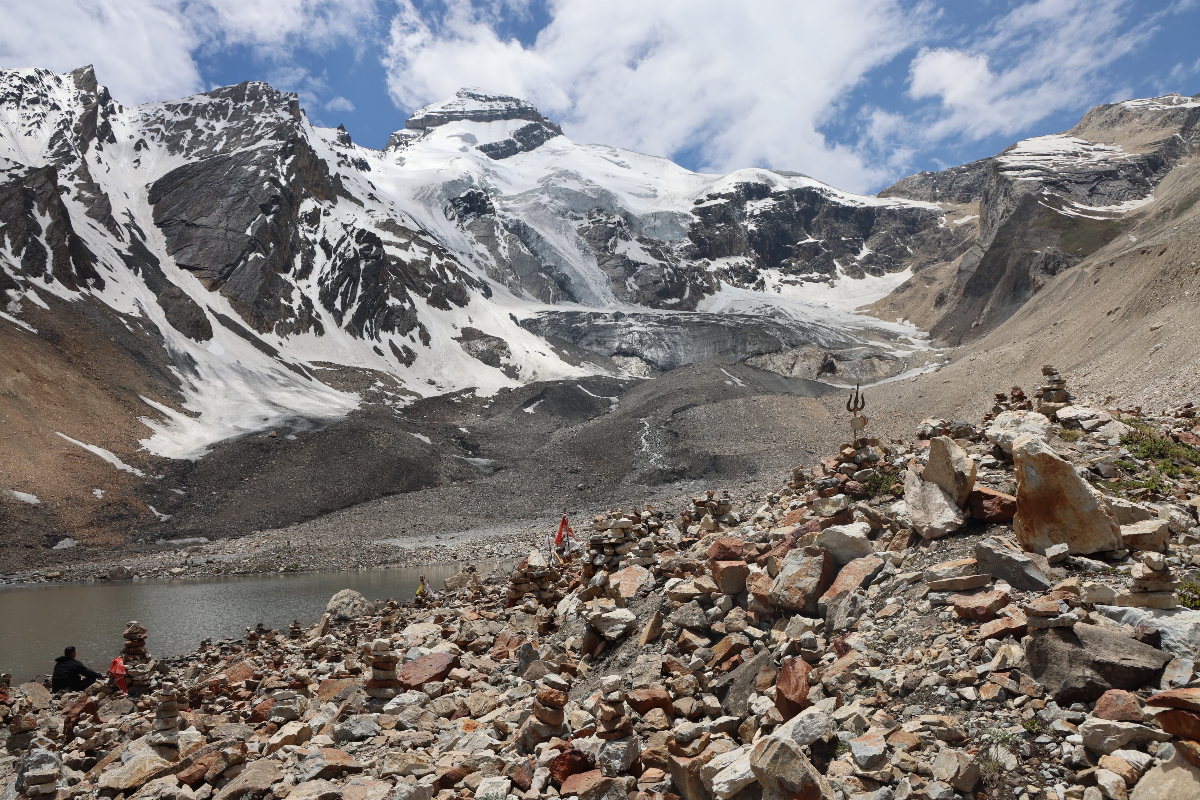
Spiritual summits of Chhota Kailash
Darma Valley
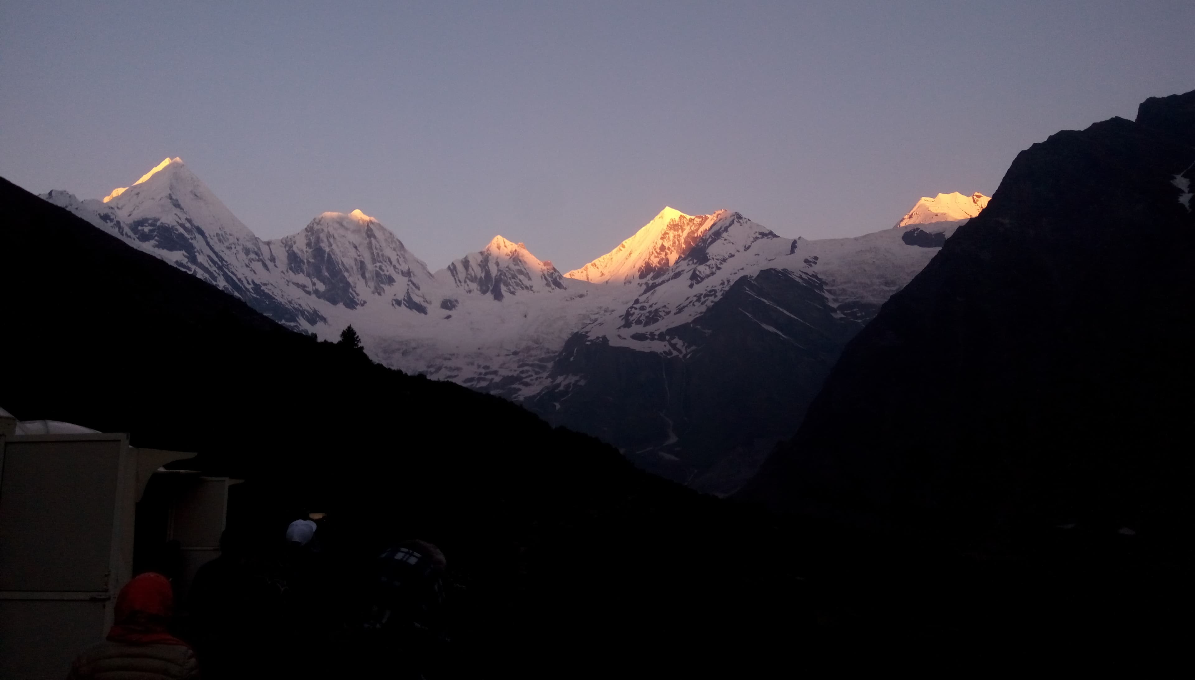
Uttarakhand's last unspoilt frontier
Kumaon Cultural Circuit
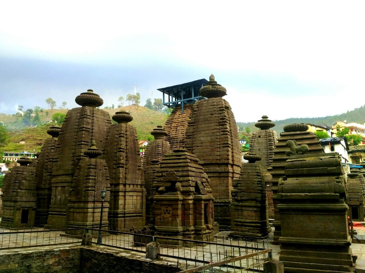
Ancient temples and Himalayan heritage
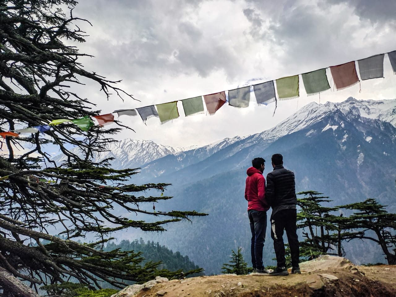
Harshil Valley & Gangotri
Sacred source of the Ganga
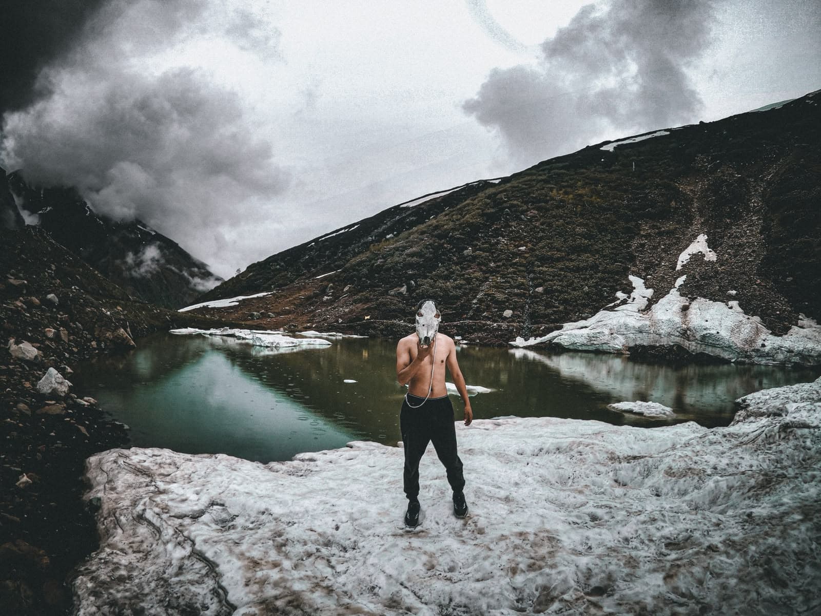
Kyarkoti Lake
Hidden turquoise lake in the Bhagirathi basin
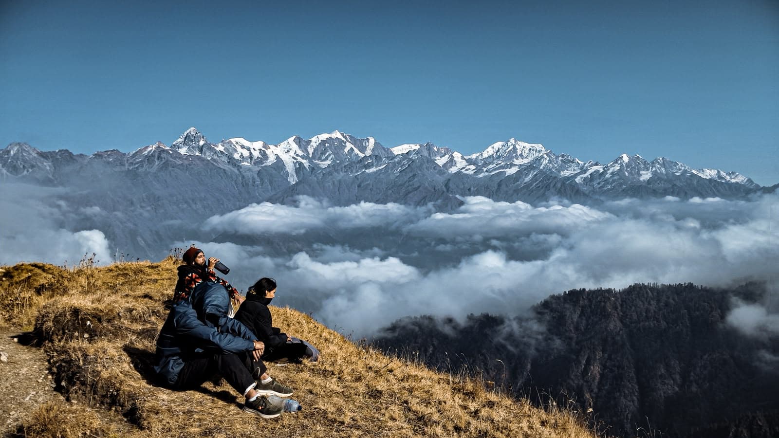
Gidara Bugyal
Garhwal's largest untouched alpine meadow

Dayara Bugyal
The classic 28 km² meadow beneath Bandarpunch